First, check out the PNW Forest Biodiversity Monitoring project from Adventure Scientists. Now that you know about the project, you can read about our experience placing Autonomous Recording Units (ARUs).
We left the trailhead and... lost the trail. Because we're idiots? No. I mean, yes, but that wasn't the reason. It's because the whole area burned last year. Instead of a well-defined trail we were following the faint shadow of a trail through the charred landscape.
I've been through burns before, but this was so fresh and so complete it was beyond anything I'd seen. A puff of ash rose from each step. Our legs were soon smeared with black from climbing over and through downed trees.
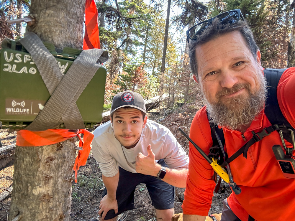
We have a set of coordinates at which we would place ARUs. Although we used the trail (or what was left of it) to get close, we had to go offtrail to get to the specific spot. Each ARU had to be placed in a specific way and configured so it could record audio as specific times of day.
We placed the first two and then took a detour up the local highpoint. Excellent views with a huge whitebark pine tree just below the summit. (And although we're also participating in Adventure Scientists' Tracking Whitebark Pine project, this was just outside the study area.)
Back at work for the last two ARUs. Number three was easy to get to. Number four, though. Yeesh. 500 feet straight downhill from the ridge. We dropped down through an open slope of loose dirt and grass and then into the trees. To make matters worse, the bugs were thick as we placed the ARU.
Rather than climb back to the ridge and back to the trail, we continued downhill. Soon we were in the burn proper, following a creek. Many of the trees that had burned had fallen and slid down into the creek. It was an absolute mess so we tried to stay high. The terrain kept funneling us down and traversing was nigh on impossible because the ground was 10 inches of mushy ash.
We eventually found a line that wasn't likely to end in too many tears and made good time to the road about a mile from the trailhead. At least the concrete was easy walking.
We'll return in about six weeks to pick up the ARUs and their precious data. They'll be analyzed by the PNW Bioacoustics Lab of the Forest Service to determine what wildlife is in the area. Since our placements were in or near burned areas, I expect they'll yield interesting data.
It was one of our stouter trips of the year with more than 4,300 feet of climbing and close to 12 miles, much of it offtrail. We had to hose off in the backyard when we got home and we have uncountable numbers of bug bits and scratches. All in the name of SCIENCE!
📍On the lands of the Cayuse, Umatilla and Walla Walla peoples.