Before you read this tale of adversity you should read about the joy fest that occurred just two weeks earlier full of blue skies, warm sun, glacier travel, and accomplishments. It's important to have some context as we dive into this trip.
Ok. So Lilly's trip was fantastic. Not too hot, not too cold, the singular rain storm was short lived and exciting. It was well within our physical capabilities and while there were a few type 2 moments, it was mostly type 1 fun.
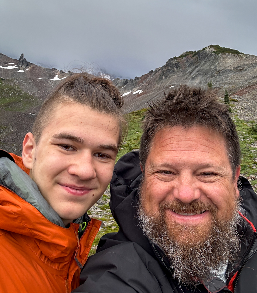
In contrast, this trip was the opposite. Well, except it being too hot. I never felt too hot. It was definitely too cold at times. There was only one rain storm, but it was a permanent condition. And I was reminded I'm not capable of riding my mountain bike uphill with a 40 pound pack. Our fun was type 2 with a couple of type 1 moments thrown in for giggles.
We started at the end of the Westside Road in Mount Rainier National Park. Never ventured up that way? Neither had we. Back in the day the Westside Road was envisioned as part of a ring road around the Mountain. Except it never connected to anything. Instead, it ends about five miles south of the Mowich Lake road. And the road is closed to cars after the first three miles. There are a handful of trailheads along its length, but none had suckered me in previously.
The plan was to bike about eight miles to St. Andrews Creek, hike another couple of miles to St. Andrews Lake, and then head into the backcountry to find a camp. (Yes. Like the trip with Lilly, we had backcountry permits.) Sounds almost pleasant, right?
The plan fell apart pretty quickly. Riding uphill on a gravel road with a heavy pack is hard. Not hard like go-slow-and-you'll-make-it but screw-this-noise-I'm-going-to-push-my-bike hard. Kinda makes me dream of an e-bike. (Yes, they're allowed in the Park (with restrictions).) So now we were pushing. Occasionally, I'd forget about almost dying the last time I tried and I'd mount up to pedal a bit before getting off again.
(Yes, my butt was still broken. No, it wasn't great to sit on a bike seat. Yes, I owe Lilly a new super-cushy bike seat cover.)
At Round Pass there was a short little downhill that turned into a long downhill dropping 500 feet to the South Puyallup River. Oh, it was lovely pushing 20 mph, but always in the back of my mind was the realization I'd have to go back up that. A final 2.7 mile push up to the trailhead had us back on our own two feet. Although I wanted to throw my bike off a cliff, I dutifully locked it to the bike rack, hung my helmet, and maybe hoped a little someone would steal it. (Why would they steal my 30 year old bike, though?)
We did a short detour to see Denman Falls before beginning the hiking portion of the trip. We had 2.3 miles through the forest to Klapatche Park and the Wonderland Trail and then another mile through the backcountry to our planned camp site. The forest was thick with moss and big trees and the slower pace (even slower than pushing a bike up the hill) was refreshing.
As we emerged from the trees into the meadows we could see... nothing. Thick clouds obscured all views. Pretty much all we could see was our immediate surroundings. Thankfully, this included the beginning of a bountiful crop of blueberries. In fact, they were the much sought after "banana berries" we only find in the subalpine so we immediately gorged.
We had seen only one party of hikers on the Westside Road and a maintenance crew flaunting their ability to drive the road. I expected to see a number of Wonderland hikers, but in fact they must have all been hunkered down under shelters. It was only us marching through the mist.
With a backcountry permit, you're not allowed to camp within a mile of an established trail and you can't be visible from a trail. (There are other requirements, too, so talk to a ranger before you go.) When we had made it to a mile from the trailhead we looked around and said, uh... what now? The clouds/fog/mist prevented us seeing anything. We were at a saddle so we dropped packs and Henry went one way while I went the other. I got lucky and found an established spot that met all the requirements.
We got camp set up pretty quickly. Once again, the tarp was a critical component and gave us a dry place to escape the rain and store gear outside the tent. While I was heads down under the tarp Henry yelled. I looked around and saw the clouds had spontaneously cleared finally giving us a view of our surroundings.
Our site was perched on a narrow ridge. We could see Tokaloo Rock (or ultimate objective) and the deep canyon carved by the North Puyallup River. Tahoma remained hidden, but suddenly there was hope the next two days wouldn't be soaking wet.
LOL. Right.
That night the storm descended upon us. Heavy rain, hail, and lightning brutalized us all night long. When we finally opened the tent we were again ensconced in the clouds with near zero visibility.
No matter, it was time for our middle day adventure. There were three possibilities on the table. Tokaloo Rock would require some route finding, so that wasn't happening unless the clouds eased up. Andrews, a peak a half mile away and 500 feet higher, was too close and short. Plus, there was no reason to climb it until the clouds cleared so we could at least see a little. That left Aurora Peak above Klapatche Park. We geared up in our most water resistant gear and started out.
It would have been better to wear only a t-shirt and shorts. At least we'd have had dry clothes when we returned. Hiking back along the Wonderland wasn't bad, but the climber's trail was choked with brush and small trees. Each touch showered us with so much water not even the contents of a Ziploc bag would have been dry. We made it to the summit (zero views) and started back down.
Bzzt. Bzzt. Cell coverage? Here? An important message from home? Or just political texts. There is no escape. Still, we tried to call home. No. Couldn't send a message either. Maybe back up at the peak. Nope. Just that one square foot of space below the summit and only for receiving texts. Typical. (Don't worry. We had our satellite communicator for reliable comms.)
We picked a ton of banana berries on the way back to camp and actually another hiker. Poor guy. He was soaked (big surprise) and was desperate for some shelter. We told him there was none to be found as far as St. Andrews Lake. He confided in us that he would be violating his permit to sleep in a shelter if he found one. I hope he had some luck.
Back at camp we hung our soaking clothes under the tarp and retreated to the tent while the rain continued to come down. Time passes slowly. We peeked out when it sounded like it was lightening up. In one dry spell we spotted a goat near our water source and scrambled to get closer. The goat paid us no attention and continued over the ridge. Looking around we saw lots of goats, but all too far away. We did a bit of scrambling, but then the rain started to return and we retreated to the tent.
In the morning it was, wait for it, raining. There's nothing quite so wonderful as putting on very, very wet clothing and shoes. We wasted little time packing up after breakfast and were soon on the trail. Once we left the Wonderland and were back in the trees down to the bikes we were at least sheltered from the rain.
Ooh, but there were the bears! How could I skip over the bears? Yeah. Plural. BearS. Mama and her cub. Thankfully about 50 yards downslope. Mama stood and looked at us before correctly identifying us as drowned rats and not a threat. She and the little one munched berries and occasionally looked up to see we were still there taking pictures. We moved on when they did.
Sadly, no one had stolen my bike. Nor Henry's fancy newer bike either, thankfully. All those nasty uphills were easy downhills now. With no shocks and a frame as fragile as mine I nonetheless got up to 28mph before deciding dying was not in my best interest. The push back up to Round Pass was brutal, as expected, but our final downhill to the car was nice.
This is definitely an area I want to return to. There's so much more to explore and if the weather had been good it would have been on par with Lilly's perfect trip. We'll probably approach from a slightly different route next time, but the winning will take place once we leave the Wonderland and head up into the backcountry again. I wonder if there's a place I could rent an e-bike...