(This is part of the TENNESSEE! Tour. When I finally get a little caught up on posts, you can read about how we got into the south at http://bit.ly/MoosefishDoesTennessee. (Clicking that before it's posted will get you an error.))
You might recall from the Blue Ridge Parkway post we were on the way to somewhere when we stopped for a stamp. Where were we going? Only the highest point in the United States east of the Mississippi river? (I know. It sounds like a made up baseball stat, doesn't it? They're only the third play to hit the ball on the barrel of the bat and have it deflect off three infielders and still get a double.)
This mighty peak, Mt. Mitchell, tops out at an oxygen-sucking 6,684 meters! Wait. Feet? Hmm. That's not actually that high. Well, I guess it is if you're in an ancient mountain range. Whatever: It's the state high point of North Carolina.
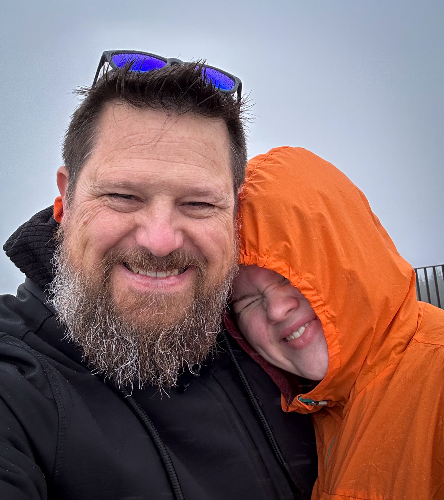
Like other east coast high points, there's not much of a walk to get to the summit. In fact, there was a shuttle that would have taken us up if we were there an hour later. As it was still early, we wandered up the paved road to the high point. No views, but we were on top of the world!
On the way back down, we took a nature loop trail that felt even more like home than the Blue Ridge Parkway. Except the big rocks. We don't have a lot of that at home so they were pretty cool to see.
I know you're thinking, sheesh. Two NPS units and a state high point. That's probably it for the day, right? Not quite.
📍On the lands of the ᏣᎳᎫᏪᏘᏱ Tsalaguwetiyi people.