In case you missed the last post, I'm working on a project. I want to be able to get to one of my favorite places all year around even when the roads are buried in snow. Our attempt to climb up from the bottom was good, but ultimately "unsuccessful" even though we found some hidden waterfalls that aren't even shown on maps.
Rather than returning and trying the same route again, we decided to start at the top and drop down as far as we could. This was a dicier proposition than climbing. In general (but not always), anything you can climb up you should be able to climb down. The inverse is not true. If we dropped over a cliff band we could be trapped below it without the ability to climb back up. If there was a further cliff band below the first that I couldn't downclimb, we'd be trapped.
On the upside, just to get started we had to go to our favorite place before we even started descending so that adventure was nice. Even though it was the end of November there was hardly any snow, though it was plenty cold. The lakes and tarns were all starting to freeze, but none were ready to walk on. When we started dropping, there was just six inches of snow and lots and lots of ice. A number of usually easy scrambles became exercises in falling down hard.
The actual project-related route followed the creek that flows down into the valley. It's the same creek I followed part way up. (The one with the spectacular waterfalls.) Way up at the top, the creek is in a deep gully with multiple 10 foot drops so we couldn't just follow it down. Instead, we stayed to skier's right and descended through the forest.
While the bottom of the valley was very steep and full of devil's club, the top was mature trees and heather. No wonder the top is a favorite place while the bottom... isn't. We dropped several hundred feet without running into any of the obstacles I was concerned about. Being without human companions, I decided to turn back rather than push further. (Besides, if I got to the bottom without a vehicle there I'd have to call for retrieval and that never goes well.)
The other downside (pun intended) about not completing a descent is you have to climb back up. After we got back to the lakes we had to climb again to regain the high point and then descend to the car.
So what's missing? About three quarters of a mile and 1,000 feet of elevation change. Unfortunately, we're likely to have to put the project on hold until the spring. I had hoped to have it resolved this year, but how fun is a project if it's just a couple outings to complete?
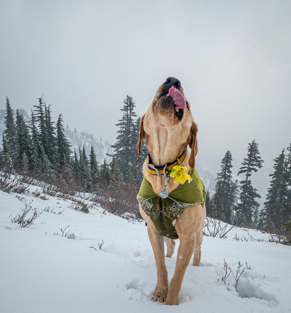
And here's the awesome weather conditions we had.
* If you're questioning the wisdom of me and the dog wandering around in the Wilderness in the snow, be assured that I always have my InReach satellite communicator. It allows me to call for help no matter where I am. (FYI: That's an affiliate link so I get a cut, but dang if a device like that isn't almost a necessity especially if you're solo.)